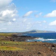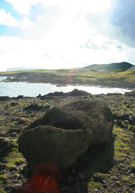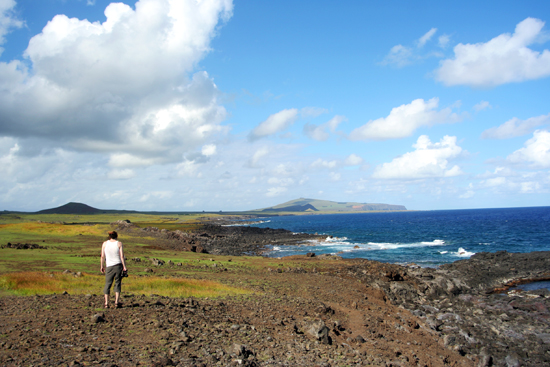
The farthest road and the only road that runs along the coast begins in Hanga Roa and shoots east around to the opposite side of the island before it turns inland at the white sand beach of Anakena. We packed a rented jeep with water, wine, beer, and maps and set out toward the sunrise as the temperature began to climb and the first hints of orange dust began to settle our hair. Dave drove, and I sat alert with my nose out the window and my hair flying, scouring the landscape for our first glimpse of the figures we came here to see. Just barely out of town, and I was pointing and shouting, both of us in a frenzy to pull over and hop out to inspect a well-weathered unmarked stone in human form. Moai are so common on the island this small one was not noted where it stood nor on our map. And funny, the first thing we thought is, “is this a real one?” It was. Of course it was.
Even if not for the moai, the island itself is beautiful. being in the middle of the Pacific Ocean tucked aside from most currents leading from larger land masses keeps the surrounding ocean peacefully clear. While sitting in the sun on the shore, a distant thunderstorm ravaging the ocean from afar seemed so small I could pluck it from the horizon and put it in a little box.
There are long areas of road where you are simply driving over bare rock shelves, and herds of both cows and horses meander on and off the road. Although our first instinct was to be more careful of the cows than horses, horses can make much more sudden movements.
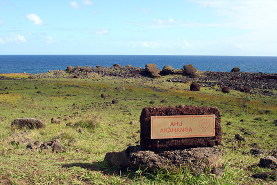
Many of the ceremonial platforms or Ahu along the eastern coast of the island are unrestored and lay in the same place they had fallen over 300 years ago. Ahu Akahanga is about half way between the south and north ends of the island, and looks about the same as it did when early European explorers first came across it, save for the helpful signage.
The southeast coast is also where the most iconic moai are found, at Rano Raraku and at Tongariki, which I will write about next.


Recent Comments